

LOCAL boundaries are very much part of our lives, providing us with a sense of place and belonging while also defining community and government organisation.
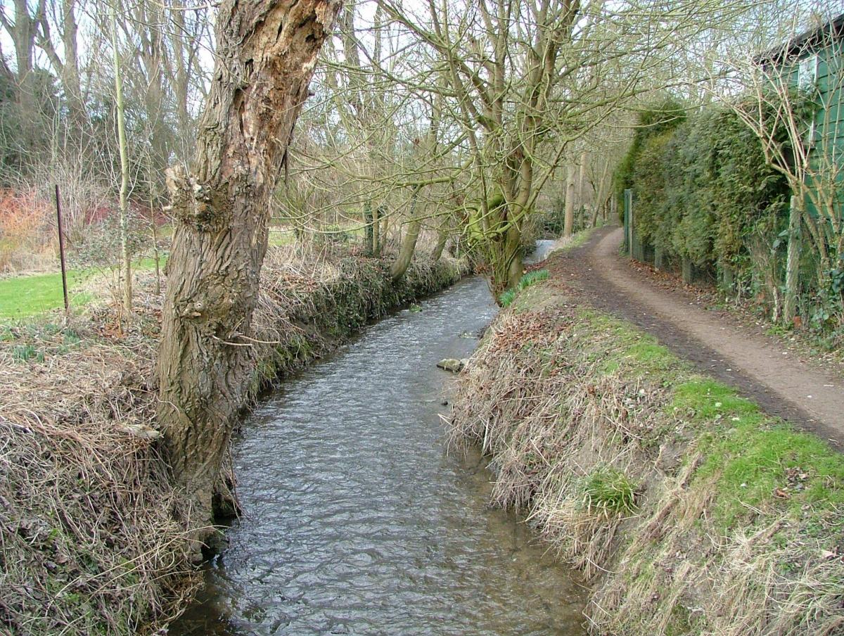
Parish boundaries are among the oldest, often dating to before the Norman Conquest and first delineated by natural features such as great boulders, ancient trees, rivers, streams and ditches. Wallingford’s southern boundary, where it abutted Cholsey, was described in a ninth century document as running through marshy ground along the edge of Mackney and ‘thence on the ancient ditch east to the Thames at Wallingford’. It was recognisably referring to the stream now called ‘Bradford’s Brook’, which flows behind the present hospital, under the Reading Road and out to the river; you cross it as you enter Winterbrook.
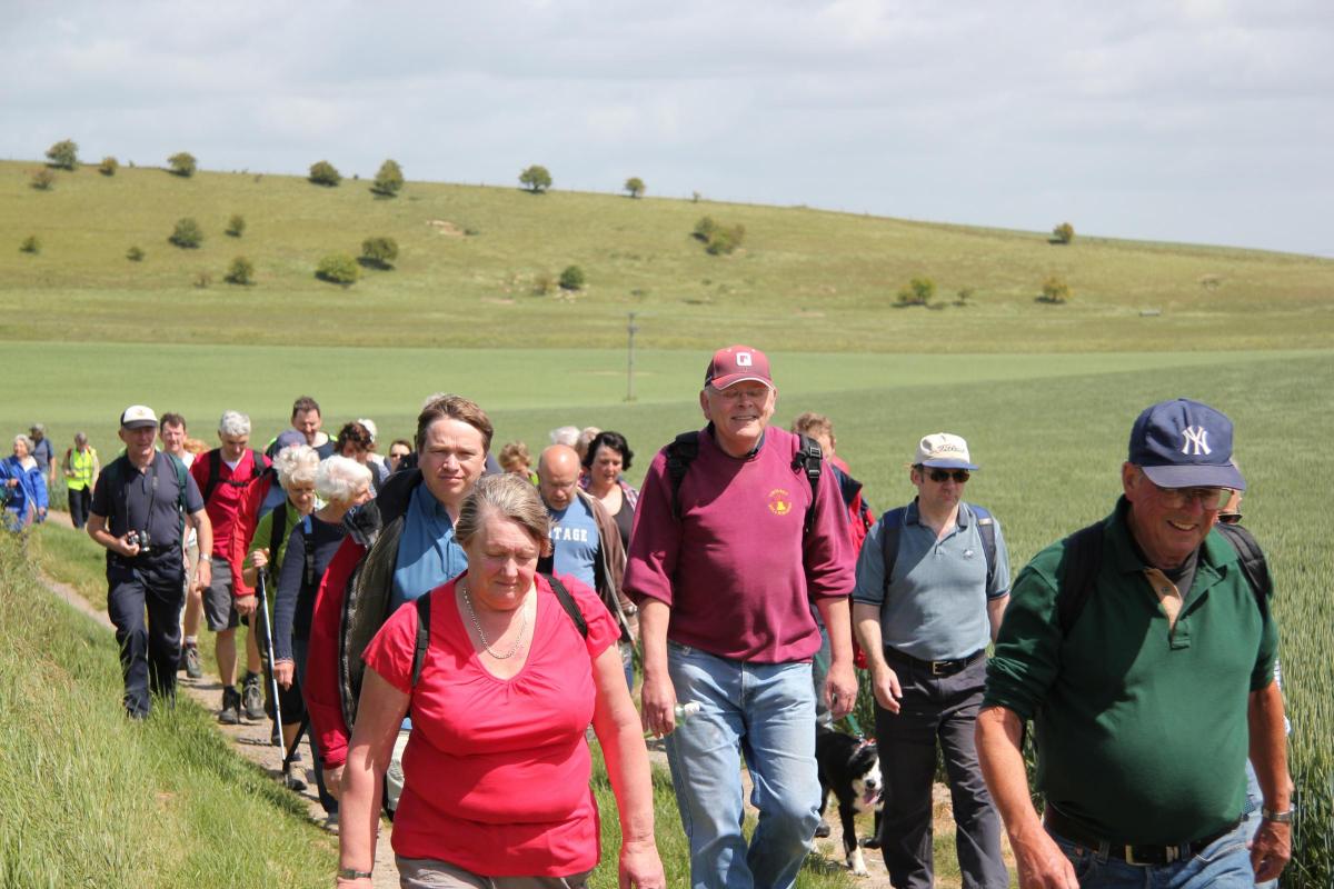
Before the days of maps, knowledge of such boundaries had to be carefully passed down through the generations, and this was done by ‘beating the bounds’.
On the days leading to Ascension Day (May 10 this year) the priest and older parishioners, accompanied by several small boys, would walk the parish boundaries. They would check for any illegal encroachment over the boundary and ensure that the boys remembered the boundary correctly by beating them at each main feature on the route! This was often a light-hearted ritual, but the lesson was learned. When the job was done everyone enjoyed a good feast and the boys received a half-penny each for their trouble. (This tradition – minus the beatings – is still occasionally followed in some parishes).
If disputes arose over boundaries, the oldest men of the community were called to give testimony from memories of their youthful past. In 1715, Wallingford MP Thomas Renda was accused of moving some castle boundary stones when digging out Castle Lane (near the Town Arms) as a private driveway to his new house. Several old men were called to describe the position of the stones as they remembered them. One was old enough to remember days of the Civil War in his youth when the original castle gates were there. His testimony didn’t solve the case in 1715, but it left us a wonderful eye-witness account of the castle!
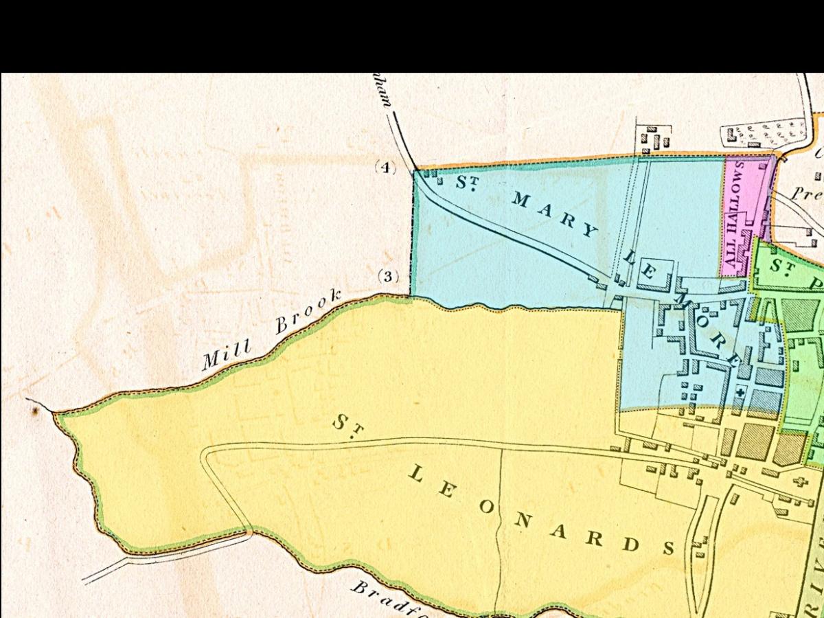
Boundaries sometimes went down the middle of a river: in 1219 the Abbot of Reading had mills and fishing rights on the Thames near Cholsey.
After a neighbourhood fishing argument it took the Bishop of Salisbury and seven of the King’s justices to witness a written agreement that in future the Abbot and his neighbour should share the fish caught in mid-stream.
Boundaries can still cause heartache: in 1974, after a thousand years in Berkshire, Wallingford was moved to Oxfordshire.
In 2015, Winterbrook was taken over by Wallingford, abandoning the ancient brook boundary for the modern bypass (and incidentally shifting Agatha Christie’s house out of the parish of Cholsey in which she had lived and is buried).
But when the former Slade End Field (Site B) was recently annexed by Wallingford, the ancient rituals won through: Brightwell-cum-Sotwell Parish Council successfully convinced the Boundary Commission and SODC that the new boundary should not be down the middle of the Wallingford Bypass as proposed, but on the Wallingford side instead. Why? So that Brightwell folk, when beating their bounds – as they do every three years – don't have to walk down the white lines in the middle of the road! Well done Brightwell.
With thanks to Jason Debney for the Brightwell information.


Comments: Our rules
We want our comments to be a lively and valuable part of our community - a place where readers can debate and engage with the most important local issues. The ability to comment on our stories is a privilege, not a right, however, and that privilege may be withdrawn if it is abused or misused.
Please report any comments that break our rules.
Read the rules here