

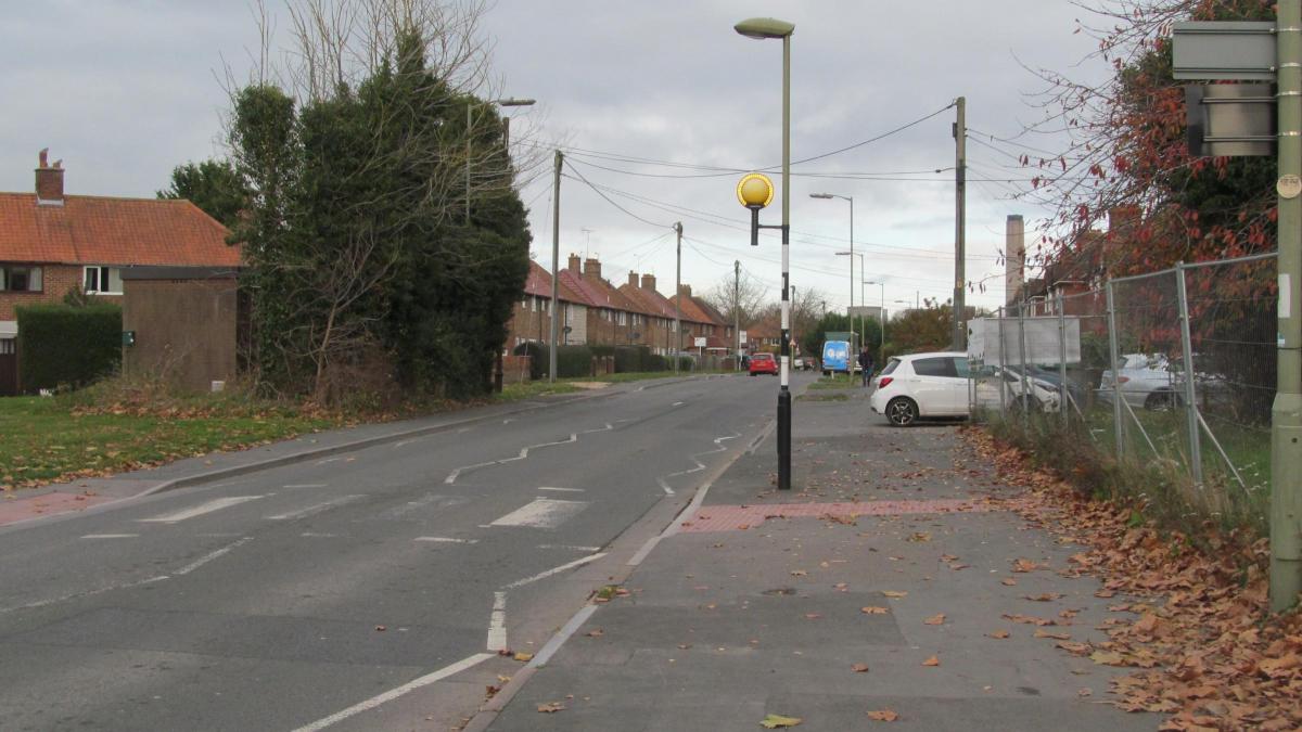
RESIDENTS of Didcot see our town growing year by year with new housing developments and the roads leading to the new homes.
This rapid expansion brings its own problems with it, such as an increase in traffic and congested roads, as the infrastructure fails to keep pace with the developments.
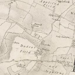
But let us step back in time and remind ourselves of the tracks and roads in the early beginnings of the village, as it was then, named Dudcote, Dudcot or Didcott - at least three of the ways to spell Didcot at the time.
We are talking about a time before the coming of the railway in 1844; even before the Enclosure Acts of the 16th century.
Then, Didcot was just a sleepy little village lying close to the Berkshire Downs with cottages for the, mainly, farm labourers who resided there.
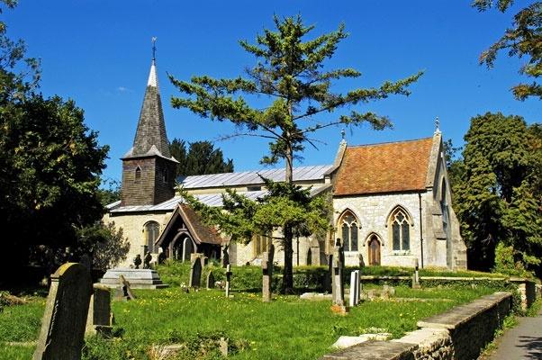
The main centre of the old village of Didcot straddled what is now Foxhall Road, Lydalls Road and Brasenose Road, with the Church of All Saints at its centre.
This meant that the settlement was to the north of the only main road, which ran between Wallingford, six miles to the east, and Wantage, some eight miles in a westerly direction.
This was the 'King's Highway' at the time (which is a subject in its own right), and if you wished to travel to Wantage you would have gone through Harwell, which at the time was a bigger settlement than Didcot.
Travelling north, you would have gone through the hamlet of Vauxhall, on what was a muddy track to North Fields and which, at the time, was common grazing land that, many years later, would be cut through by the building of the railway line from Didcot to Oxford and, much later, by the construction of the Ladygrove Estate.
In front of you then was Appleford Common with Durnell Farm to your left (this farm features in the history of the Ordnance Depot), and from there the village of Appleford was straight ahead or you could turn left on to the track to Sutton Courteney (as it was spelt then) or right towards both Long and Little Wittenham.
Back to the village of Didcot, following the line of what is now Lydalls Road, would take you to Haddon Wood which we know today as Hadden Hill and, as today, is high ground above the marshland where Ladygrove Farm could be found. Ladygrove housing development was built around here.
If you were to venture much further afield to the south, you would come across East and West Hagbourne fields with the settlements of Coscott, Scotlands Ash, East Hagbourne and West Hagbourne to the south of these fields.
Venturing even further afield you would find Upton, Hagbourne Paper Mill, Blewberry (as it was spelt then), Aston Upthorpe and Aston Tirrel.
In later years these open fields would be enclosed by the landowners preventing common grazing. But that’s another story!


Comments: Our rules
We want our comments to be a lively and valuable part of our community - a place where readers can debate and engage with the most important local issues. The ability to comment on our stories is a privilege, not a right, however, and that privilege may be withdrawn if it is abused or misused.
Please report any comments that break our rules.
Read the rules here