

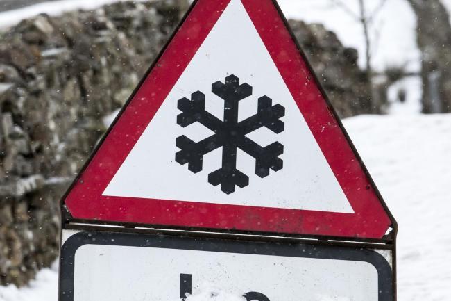
Forecasters say there is a chance of snow falling on Oxfordshire next week as temperatures plummet.
Met Office forecaster Steven Keates said the chance of the white stuff falling on the county could not be ruled out although he added 'chances were slim'.
The Met Office says there is a possibility of snow as temperatures are predicted to fall next week following 'a mild two or three days'.
READ AGAIN: What are the odds for a white Christmas
Mr Keates added: "Snow can't be completely ruled out for Oxfordshire but the chances are pretty slim.

"Next week after a mild two or three days it will turn colder throughout all parts of the UK and snow is not out of the question for some parts of the country."
Earlier this week long range weather forecaster Exacta Weather said there could be blizzards on Christmas Day followed by a freezing cold January.
But the Met Office contradicted claims the UK was set to face the "coldest winter in 100 years".
READ MORE: Two arrested for suspected arson attack
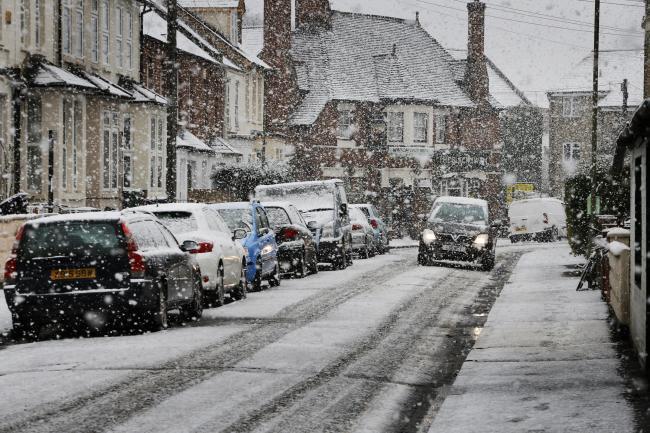
While it is taking a cautious approach to forecasting snow next week other forecasters appear to be more certain that it is on its way.
According to The Express charts from NetWeather forecast snow in Scotland tomorrow, before it spreads elsewhere.

Later heavy snow is forecast to spread down into the north of England.
READ MORE: Is Jeremy Clarkson being mean to Greta Thunberg?
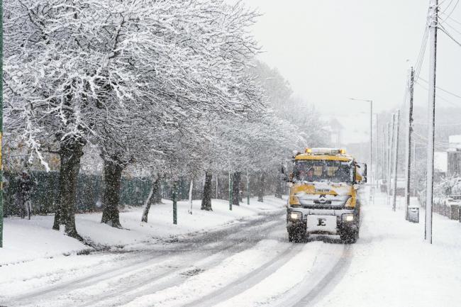
Heading into election week heavy snow looks to cover almost the entire UK, according to Netweather maps showing accumulation across much of Scotland, the north of England and Wales on Wednesday, December 11.
This is then forecast to spread across to the South of England on Thursday, December 12, making for a potentially icy walk to the polls.
The Met Office UK long range forecast from Monday December 9 to Wednesday December 18 says: "Unsettled with blustery showers on Monday, and these could turn wintry over higher ground in the north.
"The heaviest showers will be seen along North Sea coastal areas, with the northwest staying dry. It will be rather cold with some patchy frost overnight.

"The more unsettled theme is likely to persist with showers or longer spells of rain, with drier interludes remaining short-lived. Initially mild, temperatures are more likely to soon dip below normal, allowing an increasing risk of wintry showers the further north you go.
"Also a low risk of more widespread snow on the northern edge of rain bands. Strong winds possible across the UK, especially further south. Frost and freezing fog possible, particularly in the north."


Comments: Our rules
We want our comments to be a lively and valuable part of our community - a place where readers can debate and engage with the most important local issues. The ability to comment on our stories is a privilege, not a right, however, and that privilege may be withdrawn if it is abused or misused.
Please report any comments that break our rules.
Read the rules hereLast Updated:
Report this comment Cancel